Iguazu Falls Brazil Side Tour
Trail Guide

Iguazu Falls Brazilian Side Map

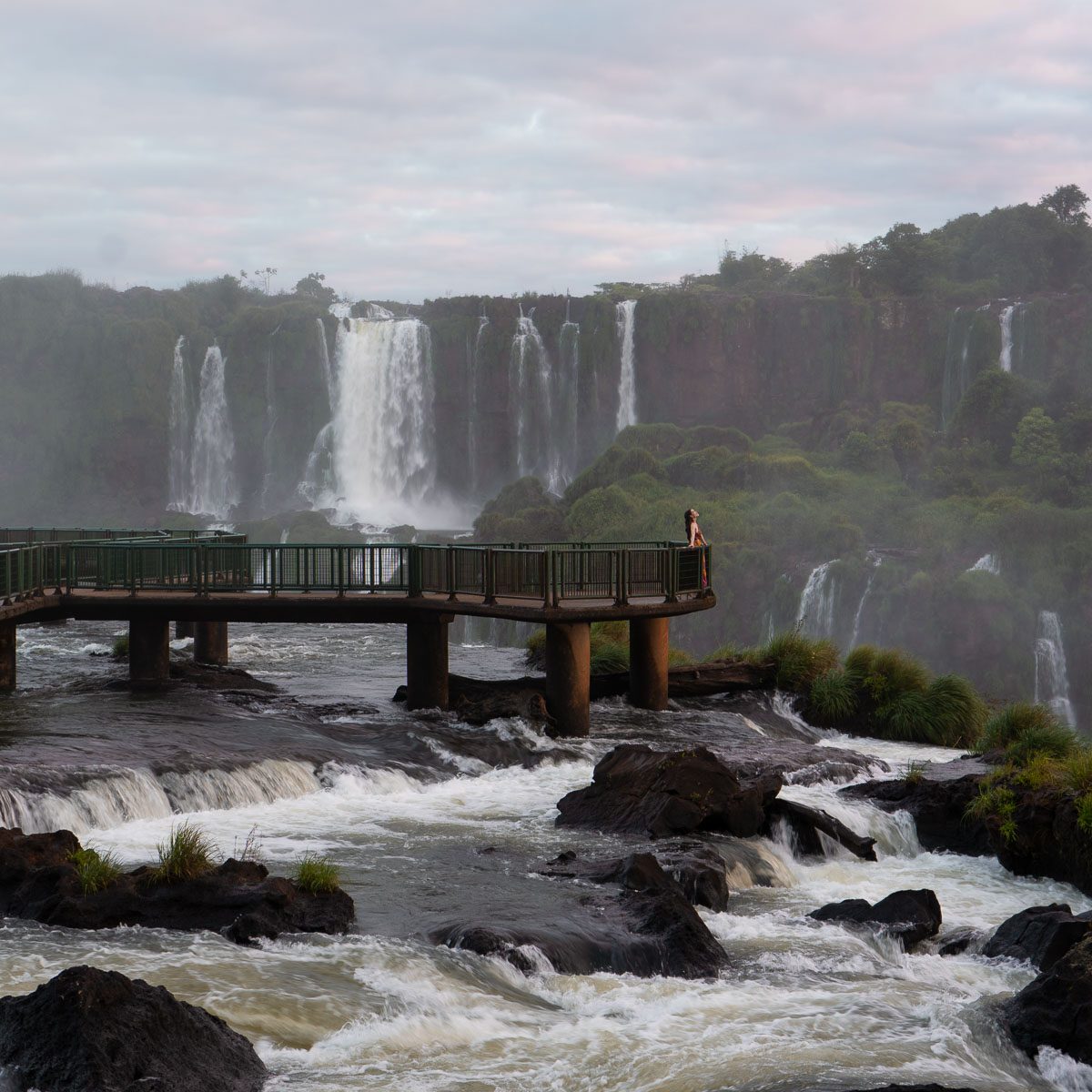
The Brazilian side of Iguazu Falls follows a single paved trail that runs 1,200 meters along the canyon rim, ending at a platform suspended directly over the Devil's Throat cataract. Every visitor walks the same route—the only choice is how long you pause at each viewpoint. This page maps the trail from the bus drop-off to the final platform, naming every observation deck and explaining what each reveals.

9 min read Updated 2026-08-19 Fact-checked
Iguazu Falls Brazilian Side Map

Quick answer

The iguazu falls brazilian side map covers a linear 1.2-kilometer trail system that begins at the Visitor Center bus station and follows the canyon edge to the Devil's Throat platform. The route includes seven named viewpoints—Salto Mbiguá, Salto San Martín, Salto Escondido, Salto Rivadavia, Salto Três Mosqueteiros, Salto Duas Irmãs, and the suspended walkway to Garganta do Diabo—plus a side trail to the Porto Canoas restaurant overlook. All sections are paved or boardwalk, fully accessible by wheelchair.

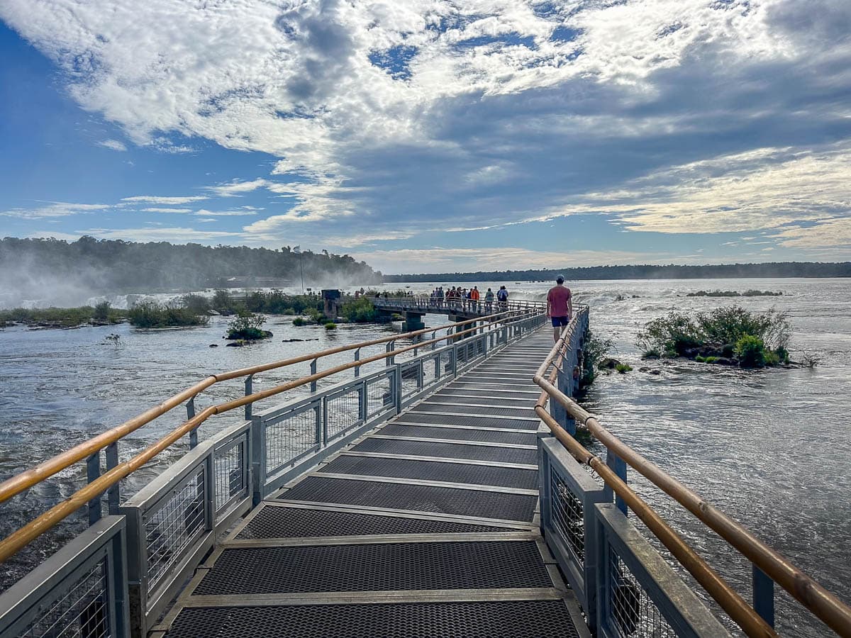
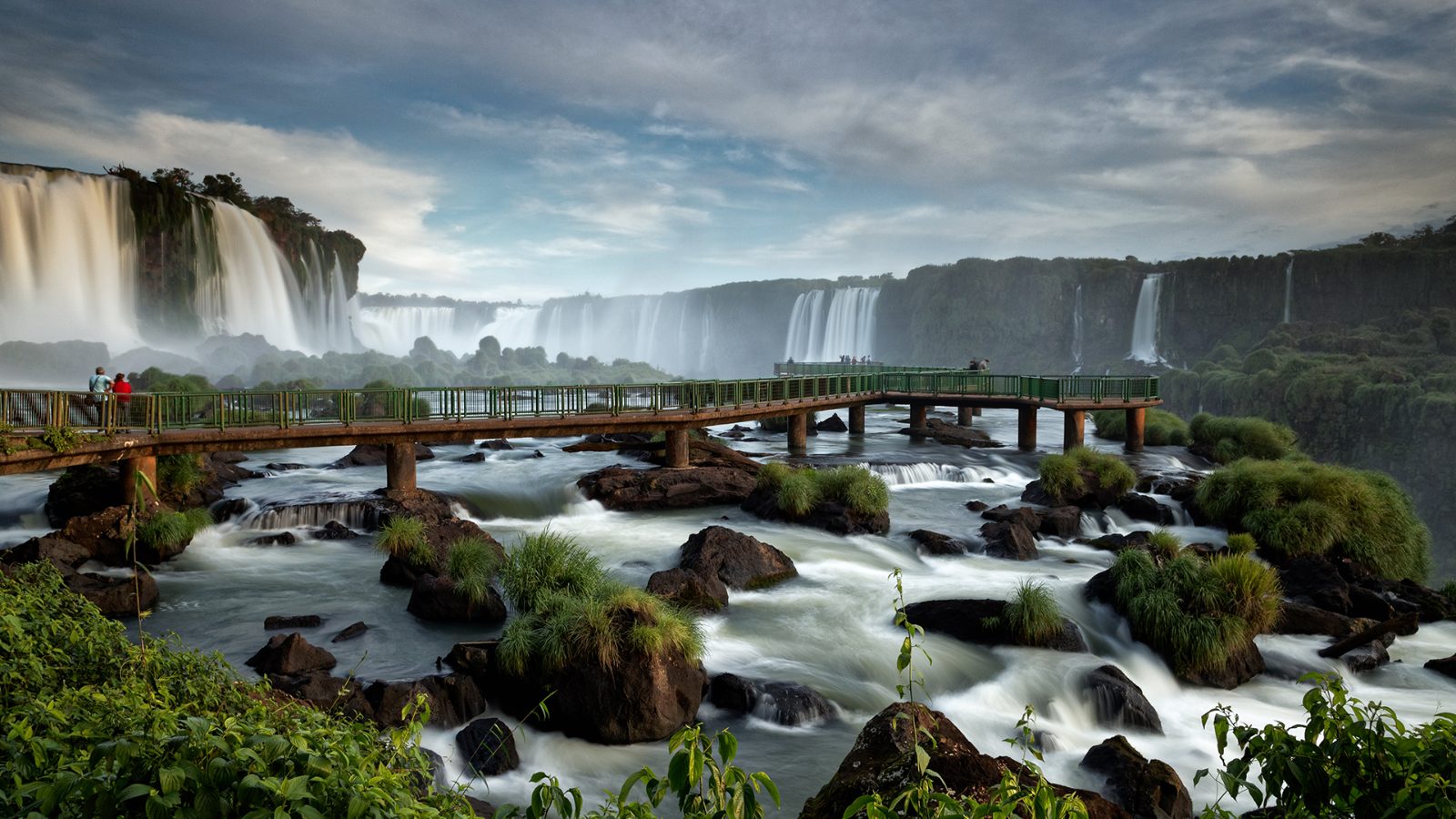
The Brazilian park layout is deceptively simple: a single trail, no junctions, no wrong turns. Visitors board a double-decker bus at the Visitor Center and ride 11 kilometers along Rodovia das Cataratas to the trail head at the Hotel das Cataratas stop. From there the Cataratas Trail—Trilha das Cataratas—unspools northeast along the rim, offering panoramic views across the canyon toward the Argentine cascade curtain. The first half of the trail runs inland through subtropical forest, opening intermittently to viewing platforms named after individual cascades visible on the opposite bank. Salto Mbiguá marks the first wide vista; Salto San Martín presents the tallest single drop in the complex. The trail's second half descends gradually to water level, approaching the canyon throat where the Iguazu River narrows from 1,500 meters to 150 before plunging into the gorge. At this point the walkway shifts from asphalt to steel grating, cantilevered over the riverbed. Spray thickens. The handrail grows slick. The final 200 meters of boardwalk extend into the mist column rising from the Devil's Throat, the U-shaped chasm where 14 falls converge. The platform here offers no panorama—visibility drops to 30 meters—but the sensory immediacy is unmatched anywhere in the park. A detailed iguazu falls brazilian side map helps visitors allocate time efficiently. The outbound walk from bus stop to Devil's Throat platform requires 45 minutes at an unhurried pace, allowing stops at each named viewpoint. The return leg covers the same route unless you detour to Porto Canoas, a clifftop restaurant with open-air seating overlooking the Argentine falls array. That side trail adds 15 minutes each way. Most visitors complete the full circuit—including the Devil's Throat walkway, photo stops, and the Porto Canoas detour—in two to three hours. The park restricts entry from 09:00 to 16:00 weekdays, closing slightly earlier at 16:00 on weekends to allow trail clearing before dusk. No camping, no overnight stays. The bus shuttles depart every 10 minutes during operating hours, returning visitors to the main gate along the same entrance road. The trail surface is universally accessible. Wheelchairs, strollers, and mobility aids navigate the entire route without assistance. Gradient nowhere exceeds four percent. Rest benches appear every 150 meters. Restrooms sit at the trail head, midway point near Salto Rivadavia, and again at Porto Canoas. The park prohibits drones, single-use plastics, and audio amplification. Visitors bring their own water; refill stations are located at each restroom cluster.

“The final 200 meters of boardwalk extend into the mist column rising from the Devil's Throat, where 14 falls converge.”
Itinerary

Planning Your Route on the Iguazu Falls Brazilian Side Map

This plan suits visitors arriving at the park entrance by mid-morning and covers approximately 3–4 hours to walk the main trail and view the falls. The sequence follows the park's natural flow: entrance, bus transfer, and the walkway to Devil's Throat.

09:30

Enter at Visitors Center

Pass through the entrance gate at the Visitors Center, collect your map, and head to the bus platform. Buses depart every few minutes and the ride to Cataratas Station takes around 10 minutes.

09:45

Arrive at Cataratas Station

Step off the bus at Cataratas Station, the starting point for the main boardwalk trail. Restrooms and a snack bar are here if needed before you begin walking.

10:00

Walk the Lower Trail

Follow the paved and boardwalk path that hugs the canyon edge, offering close views of the Iguazu River and multiple cascades. The trail is mostly flat with gentle stairs and takes 1.5–2 hours at a steady pace.

11:45

Reach Devil's Throat Platform

Arrive at the final viewing platform suspended over the gorge, where the main curtain of falls drops into the canyon. Expect crowds here; allow 15–20 minutes to take photos and absorb the view.

12:15

Return via the Same Trail

Retrace your steps along the boardwalk back to Cataratas Station. The return walk is quicker, typically 45 minutes to an hour.

13:15

Bus Back to Visitors Center

Board the return bus from Cataratas Station to the park entrance. Exit through the Visitors Center or visit the gift shop and café near the gates.

Directions

Getting to the Iguazu Falls Brazilian Side Map Entrance

Iguazu Falls is located at Rodovia das Cataratas, KM 18, Foz do Iguaçu. The park entrance is most easily accessed by regional bus services from Foz do Iguaçu city center or by private vehicle.

Bus 45 min

Line 120 (Parque Nacional) from Foz do Iguaçu Terminal

Taxi 30 min

Direct from Foz do Iguaçu city center

Car 30 min

Rodovia das Cataratas (BR-469)

Upon arriving at the park entrance, all visitors must board the mandatory internal park transport system, which ferries passengers from the visitor center to the start of the falls trail.

Opening hours

Opening Hours for the Iguazu Falls Brazilian Side Map

The Brazilian side of Iguazu Falls operates daily throughout the week. Visitors should note slight variations in opening times between weekdays and weekends.

Monday
09:00–16:00
Tuesday
09:00–16:00
Wednesday
09:00–16:00
Thursday
09:00–16:00
Friday
09:00–16:00
Saturday
08:30–16:00
Sunday
08:30–16:00
The park gates close at 16:00, marking the final time for entry.
Timing

Best Time to Navigate the Iguazu Falls Brazilian Side Map

The optimal period to navigate the Iguazu Falls Brazilian side map is between 09:00–14:00. Arriving within this window helps you avoid early morning peak crowds and ensures sufficient time to complete the trail comfortably before closing.

Weekday mornings

Lower visitor density

Mid-week visits often provide more space on the walkways and observation decks for viewing the map landmarks.

April to June

Moderate crowds

Mild 18°C–25°C

This period offers comfortable temperatures and clearer skies, improving visibility for navigating the park map.

September to October

Moderate crowds

Warm 20°C–28°C

Spring weather remains pleasant, avoiding the extreme heat and humidity of the summer months.

July and August

High seasonal crowds

Cool 15°C–22°C

While temperatures are cooler, this time coincides with school holidays, leading to higher visitor traffic.

Verdict: For the most efficient navigation of the trail, plan your visit for a Tuesday through Thursday, arriving between 09:00 and 14:00 during the months of April or October.

What to see

Key Lookouts on the Iguazu Falls Brazilian Side Map

The Brazilian side of the park features a singular main trail that leads visitors toward panoramic vistas of the Iguazu river system. These key lookouts provide distinct angles of the falls, progressing from broad landscapes to the dense spray of the lower canyon.

Floriano Viewpoint

Floriano Viewpoint

This lookout offers a high-elevation perspective where the trail ends, providing a direct view of the Floriano Falls. The mist here is often heavy, creating consistent rainbows in the morning light.

Stay on the lower observation deck for a closer mist experience.
Teodoro da Fonseca Viewpoint

Teodoro da Fonseca Viewpoint

Located along the main walkway, this stop frames the expanse of the falls across the river. It is the primary spot to observe the scale of the Devil's Throat from a distance.

Look toward the left side to capture the widest angle.

Devil’s Throat Footbridge

Devil’s Throat Footbridge

This extension reaches out over the river toward the largest section of the falls, known as the Garganta do Diabo. Visitors experience the power of the water closely as the walkway terminates at the edge of the cascade.

Hold your camera steady near the railing to avoid water spray.

Porto Canoas

Porto Canoas

Positioned at the end of the trail near the river's upper level, this area offers a calmer view of the Iguazu River before it plunges over the cliffs. It serves as the final stop before returning to park transport.

Visit during the lunch hour to observe the river flow.

Book

Check availability

Frequently asked

Frequently asked questions about iguazu falls brazilian side map

Everything you need to know about iguazu falls brazilian side map

Where can I find an official iguazu falls brazilian side map?

You can access the official map via the park's website at https://cataratasdoiguacu.com.br before your visit. Digital versions are often available at the visitor center upon arrival for your convenience.

Is the park layout easy to navigate with an iguazu falls brazilian side map?

Yes, the park is designed with a clear pathway system that makes navigation straightforward. Following the signage while consulting your iguazu falls brazilian side map ensures you do not miss key viewpoints along the route.

What information is included on the iguazu falls brazilian side map?

The map highlights the primary boardwalks, the panoramic views of the Garganta do Diablo, and essential facility locations. It provides a visual guide to the UNESCO heritage site landmarks to help you plan your walk.

How does the iguazu falls brazilian side map help with park transport?

The map outlines the park transport system, which is included with your entry fee. Understanding these transit points on your iguazu falls brazilian side map allows you to move efficiently between the entrance, the main trail, and the exit.

Are there physical copies of the Cataratas do Iguaçu map available?

Yes, information desks at the entrance provide physical guides for those who prefer them. These paper maps are useful for tracking your progress through the humid subtropical rainforest environment without relying on mobile battery life.

Does the park map show the trail duration for visitors?

While the map shows the layout and sequence of the path, it does not detail specific walking times. Most visitors find that following the trail carefully allows for a comprehensive experience of the falls without rushing.

Keep reading

More guides & pages